Radius Maps
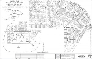
Radius Maps (which also include Land Use Maps and Ownership Maps) are another common map and database required for land development within Los Angeles County. I have every parcel within this county in CAD already and can easily generate these maps using GIS software to determine all parcels within a certain radius of your project. I then have to visit the Los Angeles County Assessor’s Office to obtain the current mailing address for each parcel (this information is not obtainable online). I then have a routine that will convert a spreadsheet of these addresses into mailing labels for your project submittal. Below is an example of a Radius Map I’ve generated.
| Sample Radius Map Although this is a rather complex map of a multi-site project, I am also experienced in smaller projects as well. |
 –click for larger image– |